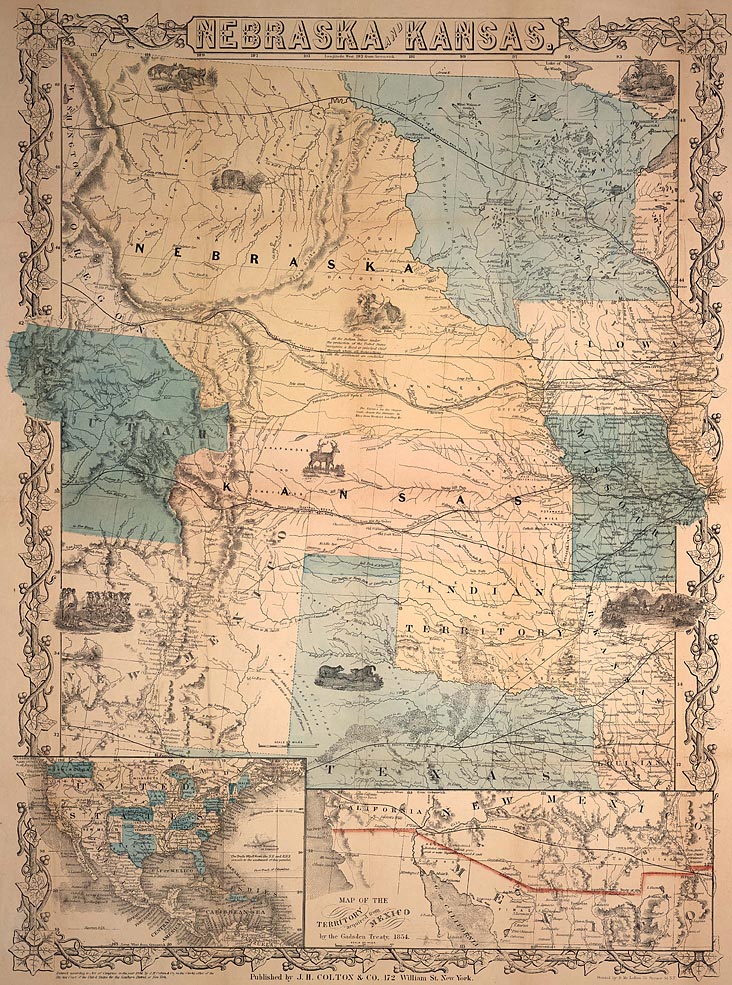
 Today, if someone wants directions, they can just go online and find a map to practically anywhere. But this is just a recent development. Before the internet, we needed actual physical maps to figure out where we were going. The NSHS holds a large collection of maps relating to Nebraska, including this one showing Nebraska Territory.
Map of Nebraska Territory, 1857 (NSHS M782 1857 N362k) (at right).
This is just one of over 3000 maps, including State/Territorial maps, county maps, city maps, plat maps, railroad maps, soil survey and drainage district maps, etc. See our website for a sample of maps from the collections. For more information about the map collection, contact the Library/Archives.
-Tom Mooney, Curator of Manuscripts


