It may sound ludicrous to say that Interstate 80 is 150 years old in 1996, but its antecedent highway, the Mormon Trail, was established in 1846. It essentially followed the same route as modern I-80, the great Platte River. The Interstate’s more immediate predecessors, the automobile highway, had rather inauspicious beginnings.
A 1926 article by a writer for the Western Newspaper Union provides an interesting status report of conditions a mere seventy years ago. At that time there were only 6000 miles in the state highway system, and 1600 miles were still unpaved. Maps in 1926 indicate that between Omaha, Lincoln, and Grand Island most roads were surfaced, while elsewhere only short segments met the “all-weather” rating.
Officials noted that traffic through Nebraska from out-of-state cars was increasing rapidly, and was perhaps “50% greater than in the average state.” In 1916 100,000 automobiles were estimated to have traveled across Nebraska, while after eleven months of 1926 over 337,000 had been counted.
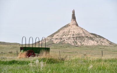
Nebraska already had the reputation of being the “Gateway to the West.” Boosters in Missouri and Kansas tried to divert traffic from the northern route to their southern one by advertising. However, Nebraska retained most of the traffic. In 1925, when federal and state officials met to number and mark the main routes across America, seven of these ran through Nebraska, counting both east-west and north-south roads. Neat metal markers, together with warning signs, soon replaced the old painted telephone pole method of marking routes. The covered wagon or prairie schooner was chosen to grace these markers in Nebraska.
The Western Newspaper Union journalist expressed confidence that Nebraska would retain its title of “Gateway to the West.” Today’s Interstate 80 suggests that this is still the case.


